


Myrtle Beach Fishing Spots - Offshore Numbers
Myrtle Beach Fishing Spots - Offshore Numbers
Myrtle Beach Fishing Spots Guide for Offshore Success
This newly updated fishing spots package contains 1,808 fishing spots along the Myrtle Beach, South Carolina coastline from 10 to over 65 miles offshore. Spots range from Bald Head Island in the north to Santee River in the south.
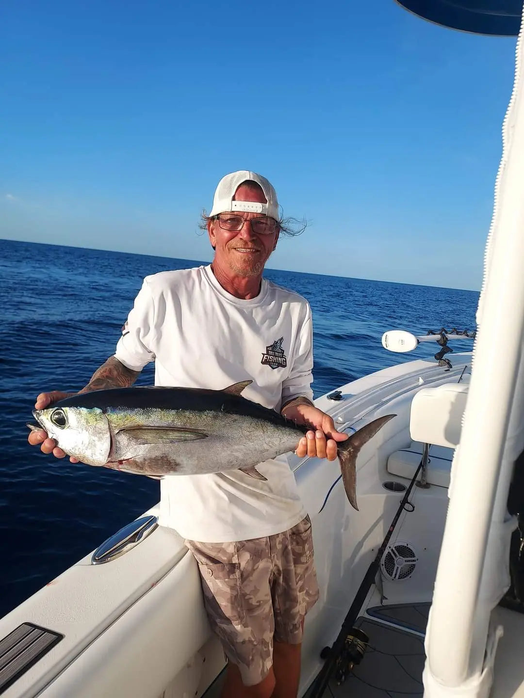
Anglers can cast their baits out on our spots and reel in a diverse array of sought-after offshore species, including tuna, grouper, black seabass, Mahi Mahi, Wahoo, and more
Compatible with Garmin, Simrad, Lowrance, Raymarine, B&G, Humminbird and Furono MFDs. Also, the apps from those manufacturers, Any mobile device or tablet running GPS Mapping software like Active Captain, Navionics, Aquamaps, Base Camp, GPX Studio, Google Earth, and many others.
Find the Right Offshore Locations Faster
Myrtle Beach fishing spots are easier to explore when you have reliable offshore numbers that help you cut down guesswork and spend more time fishing. This product is designed for anglers who want clear, practical location guidance for planning productive trips along the coast. Instead of wasting time searching random areas, you can focus on proven waters where fish are more likely to be active. Whether you are targeting bottom species, pelagic fish, or seasonal offshore catches, having the right numbers gives you a stronger starting point and helps you fish with confidence.
Built for Anglers Who Want More Efficient Trips
This product is a smart choice for weekend anglers, charter crews, and serious offshore fishermen who want dependable Myrtle Beach fishing spots in one easy-to-use format. It supports better trip planning by giving you a clearer idea of where to head based on your target species and offshore conditions. That means less time searching and more time fishing. With a focus on useful location information, it helps simplify the process of finding productive waters, especially for those who prefer to fish farther offshore and maximize every outing.
Useful for Seasonal Fishing and Trip Planning
Offshore fishing near Myrtle Beach can change with the seasons, water temperature, and fish migration patterns, so having the right spot information matters. This product helps you stay ready for those shifts by giving you a practical reference for offshore numbers that match real fishing needs. It works well for planning ahead, organizing boat trips, and choosing more informed starting points before heading out. For anglers who want a simple way to improve their chances, it offers valuable support without unnecessary complexity, making it easier to enjoy each trip.
Simple, Practical, and Designed for Real Use
The strength of this product is its straightforward approach. It focuses on giving you clear offshore fishing reference points tied to Myrtle Beach fishing spots, so you can spend less time searching and more time fishing. The information is easy to understand and practical for both experienced anglers and those still learning the offshore waters. If you want a product that supports better decisions on the water and helps you reach promising fishing areas faster, this is a useful tool to keep in your planning process.
Our files are sold as either digital downloads or delivery via SD Card. If you need an SD card shipped to your door, select the Yes Option for SD Card Delivery. If you order an SD card you will not receive a download link. Our shipping options include Ground UPS, Second day or Next Day Air Options. We also have FedEx available.
For other plotter types, choose Garmin. GPX compatibility is expected.
Package Price
Discount available for our heroes. Military, First Responders, Medical Workers and Teachers qualify for 20% off at checkout. Our Way of saying thank you!
Couldn't load pickup availability