


Destin - Fort Walton Fishing Spots - Nearshore Numbers
Destin - Fort Walton Fishing Spots - Nearshore Numbers
Destin & Fort Walton fishing spots for nearshore success
Our Destin & Fort Walton BeBest Destin Fishing Spots for an Incredible Experienceach Nearshore Destin & Fort Walton Fishing Spots package is new, with never-before-released numbers. We have done extensive research into this area's bottom structures using multiple reliable sources and consulted with numerous captains in the area.
These are private numbers; 758 fishing spots are in this exclusive Fish On package. All within 10 to 12 miles of the coast. These spots are broken down and named ledges, rocky hard bottoms, and small artificial reefs. Reefs are private chicken coops and reef balls.
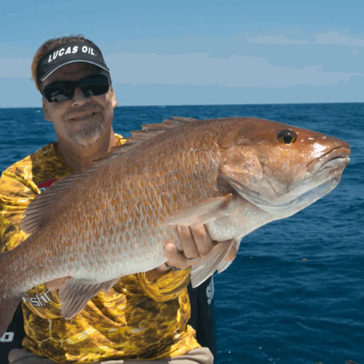
Nearshore anglers can fish our spots and findRed & Gag Grouper to American Red, Mangrove, Yellowtail, and Lane Snapper. Hogfish, Grunts, Porgies, and many other deep-water fish. This package was updated as of July 2nd, 2024. Again, this is a brand-new package that no one has seen before. Get it while it's hot!!
Compatible with Garmin, Simrad, Lowrance, Raymarine, B&G, Humminbird and Furono MFDs. Also, the apps from those manufacturers, Any mobile device or tablet running GPS Mapping software like Active Captain, Navionics, Aquamaps, Base Camp, GPX Studio, Google Earth, and many others.
Why these fishing spots produce consistent results
Destin & Fort Walton fishing spots are known for steady nearshore action because they combine structure, current, and easy access to productive water. Anglers looking for dependable results can use these areas to target species that move along reefs, wrecks, and sandy drop-offs. The best spots often hold bait, and where bait gathers, predator fish are never far behind. This makes the region ideal for both short trips and longer outings. Whether you are fishing from a boat with a chart or using local knowledge, these waters offer reliable chances to connect with quality fish.
What nearshore numbers help anglers find
Nearshore numbers are useful because they point anglers toward specific locations where fish are likely to feed and hold. In Destin and Fort Walton, these numbers may mark reefs, ledges, towers, and bottom features that attract game fish throughout the year. Instead of wasting time searching random water, anglers can focus on proven areas with better odds. These numbers are especially valuable for visitors who want a faster learning curve and a more productive trip. They also help experienced fishermen plan their route, compare conditions, and adjust tactics based on tide, season, and water clarity.
How to fish nearshore structure effectively
Fishing nearshore structure works best when you match your bait and presentation to the conditions. Around Destin & Fort Walton fishing spots, live bait, cut bait, and soft plastics can all perform well depending on the target species. Reefs and wrecks often hold snapper, grouper, and other bottom fish, while moving water can bring in Spanish mackerel, jacks, and other fast feeders. Positioning the boat properly is important, since a slight drift can change how your bait reaches the strike zone. Watch the current, stay patient, and make repeated passes if the fish are not active right away.
Best times to use local fishing spot numbers
The best time to use local fishing spot numbers is before and during trips when conditions are changing. Early morning and late afternoon often bring stronger feeding windows, but tides and seasonal patterns matter just as much. In warmer months, fish may spread out, while cooler periods can concentrate them around deeper structure. Keeping a list of Destin & Fort Walton fishing spots lets anglers adapt quickly when one location slows down. If wind, visibility, or boat traffic changes, you can move to another nearby number without losing valuable fishing time. That flexibility is one of the biggest advantages of fishing this area.
A smart choice for anglers of all skill levels
This product is a practical tool for beginners, weekend anglers, and seasoned local fishermen who want a clearer path to productive water. Destin & Fort Walton fishing spots give users a simple way to understand where nearshore fish are likely to be, without relying on guesswork. The information is easy to use, but still valuable enough for careful trip planning and on-the-water decision-making. It supports better bait selection, smarter route planning, and more efficient fishing overall. For anyone who wants to spend less time searching and more time catching, these nearshore numbers are a strong addition to any fishing plan.
Our files are sold as either digital downloads or delivery via SD Card. If you need an SD card shipped to your door, select the Yes Option for SD Card Delivery. If you order an SD card you will not receive a download link. Our shipping options include Ground UPS, Second day or Next Day Air Options. We also have FedEx available.
For other plotter types, choose Garmin. GPX compatibility is expected.
Package Price
Discount available for our heroes. Military, First Responders, Medical Workers and Teachers qualify for 20% off at checkout. Our Way of saying thank you!
Couldn't load pickup availability